BC tidal waters area boundary map
It can be incredibly frustrating to head out on the water in British Columbia, ready for a fantastic day of fishing, only to realize you're not entirely sure which regulatory area you're actually in. With all the lines, zones, and constantly changing rules, it feels like you need a law degree just to drop a line! This guide is here to untangle the complexities of the BC tidal waters area boundary map, helping you understand where you can fish, what you need to know, and how to navigate these essential boundaries with confidence.
Understanding Why BC's Tidal Boundaries Matter So Much
You might be wondering why there's such a fuss about these lines on a map. Isn't the ocean just… the ocean? Well, in British Columbia, those seemingly arbitrary lines on the tidal waters map are the very backbone of how we manage our precious marine resources. They're not just for show; they dictate everything from what species you can target to how many you can keep, and even what gear you’re allowed to use. Ignoring them can lead to some pretty hefty fines and a ruined fishing trip.
The Critical Link Between Boundaries and Regulations
Every single piece of our BC Fishing Regulations Explained for tidal waters is tied to these geographical boundaries. Think of it like a set of invisible fences, each one coming with its own specific rulebook. One side of a bay might be open for Chinook retention, while the other side, just a stone's throw away, could be strictly catch-and-release. Without knowing exactly where those boundaries lie, you're essentially fishing blind, which is a recipe for trouble.
It’s not just about salmon, either. These boundaries affect everything from prawn and crab traps to groundfish like lingcod and rockfish. Different areas can have varying limits for rockfish, for example, or even specific conservation areas where certain activities are completely prohibited to protect vulnerable species. Understanding the area you’re in helps you check specific rules like BC Halibut Bag Limit Rules or the BC Lingcod Minimum Size Limit that might apply to your location. It’s all about sustainable fishing, and those lines on the map are a crucial tool in that effort.
Navigating Area-Specific Closures and Limits
The dynamic nature of fishing in BC means that certain areas are subject to in-season closures or special restrictions, often based on specific conservation concerns for particular fish stocks. These closures are almost always defined by the tidal waters area boundaries. For instance, you might see a notice for a temporary closure of "Area 18" to protect migrating Sockeye, or specific restrictions on BC Chinook Salmon Non-Retention Areas during certain times of the year, which are also defined by these maps.
This is where the real challenge often lies for anglers. It's not enough to just know the general rules; you have to stay informed about real-time changes. Imagine planning an entire trip to a specific spot, only to find out when you get there that the area you intended to fish has just been closed. It’s a common frustration, but it highlights why having a clear understanding of the tidal map and regularly checking BC Fishery Notices and In-Season Closures, Explained is absolutely essential. These notices will always refer back to the specific management areas to define their scope, making the map your first line of defence against unknowingly breaking the rules.
The Importance for Both Recreational and Commercial Anglers
While this guide primarily focuses on the recreational angler, it's worth noting that these tidal boundaries are equally, if not more, critical for commercial fisheries. The same area numbers that govern your daily limits dictate where commercial fleets can operate, what gear they can deploy, and their quotas. This interconnected system ensures that resource management is consistent across all sectors.
For the recreational angler, understanding these boundaries means you can make informed decisions about where to spend your time. It helps you identify areas with specific opportunities, like regions known for certain salmon runs, or areas where particular groundfish are more prevalent under specific regulations. It also means you can plan ahead, ensuring you have the correct licenses and stamps, such as the BC Tidal Waters Salmon Conservation Stamp Cost, for the specific type of fishing you're planning in that particular area. These boundaries are the universal language of fishing regulation in BC.
How to Access and Interpret the Official BC Tidal Waters Area Boundary Map
Okay, so you're convinced that these maps are important. Now, where do you find them, and once you have one, how on earth do you make sense of all those lines, numbers, and shaded regions? It’s not as daunting as it looks, especially once you know what to look for and where to find the most current versions.
Where to Find the Most Up-to-Date Maps Online
The absolute best and most official source for BC tidal waters area boundary maps is the Department of Fisheries and Oceans (DFO) Canada website. They maintain interactive mapping tools and downloadable PDF charts that are regularly updated. This is crucial because, while the major boundaries generally stay the same, smaller adjustments or clarifications can occur.
You'll typically look for "Pacific Region Tidal Waters Sport Fishing Guide" or "DFO Pacific Region Management Areas." These resources often include not just the main boundary lines but also overlays for various closures or special management zones. While you might find some excellent waterproof charts for sale on platforms like Amazon that are very handy for on-the-water use, always cross-reference with the DFO's official digital versions to ensure you have the very latest information before heading out. Sometimes, fishing supply stores like Gibbs Delta Tackle or local marinas might also have printed copies, but digital is often the most current.
Key Features and Symbols to Look For
Once you have a map in front of you, whether digital or physical, there are a few key elements you'll want to immediately identify:
- Area Numbers: These are the big, bold numbers that designate each primary management area, ranging from Area 1 (north of Haida Gwaii) to Area 29 (Fraser River and approaches). These numbers are the cornerstone of all DFO regulations. When a fishery notice says "Area 13 closed to Chinook retention," you immediately know exactly which section of water they're referring to.
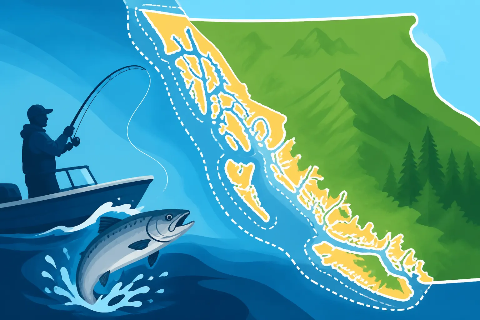
- Boundary Lines: These lines typically follow geographical features like coastlines, islands, river mouths, and lines of longitude/latitude. They might be solid, dashed, or colour-coded. Pay close attention to how they dissect larger bodies of water, like the Strait of Georgia or Barkley Sound.
- Special Management Zones: Within the larger numbered areas, you'll often see smaller, specially designated zones. These could be BC Rockfish Conservation Area Rules (RCAs), marine protected areas, or aboriginal fisheries zones. They are often shaded or outlined in a distinct colour and will have their own specific regulations that supersede the general area rules.
- Legend/Key: Never skip the legend! It will explain all the symbols, lines, and shading used on the map, helping you understand what each visual element represents. It's your decoding tool for the entire map.
Here’s a simplified table illustrating some common area numbers and their general location:
| Tidal Waters Area Number | General Location | Key Features/Notes |
|---|---|---|
| 1-5 | North Coast | Dixon Entrance, Hecate Strait, Queen Charlotte Sound |
| 6-11 | Haida Gwaii | Western and Eastern Haida Gwaii waters |
| 12 | Johnstone Strait | Northern Vancouver Island, Port Hardy |
| 13-17 | Strait of Georgia | Central & Northern Strait, Discovery Islands |
| 18-19 | Southern Strait of Georgia | Gulf Islands, Victoria, Southern Vancouver Island |
| 20 | Juan de Fuca Strait | Sooke, Port Renfrew |
| 21-27 | West Coast Vancouver Island | Barkley Sound, Nootka Sound, Quatsino Sound, Kyuquot Sound |
| 28 | Howe Sound | Vancouver, Sunshine Coast |
| 29 | Fraser River | Mouth of Fraser River, Sturgeon Banks |
This table is just a quick overview, and each area itself can be massive and contain various sub-areas or special zones. Always consult the official DFO map for precise boundaries.
Practical Tips for Using Digital and Physical Maps
Whether you prefer the tangible feel of a laminated chart or the convenience of a glowing screen, effective map usage comes down to a few core principles. For digital maps, consider downloading them to your device for offline access. Cell service can be spotty out on the water, especially in remote inlets or offshore. Apps like FishRBC (unofficial but popular for its user-friendly interface) or official DFO mobile apps (if available and reliable) can overlay your real-time GPS position onto the management areas, which is incredibly helpful for immediate boundary awareness.
For physical maps, opt for waterproof, tear-resistant versions. You can find excellent quality ones online, sometimes on Amazon, or at specialty marine stores. Use a waterproof marker to highlight areas of particular interest or current closures. Always keep your map handy, preferably in a clear, protected sleeve that’s easy to pull out and reference. It's also a great idea to pair your map with a good compass, even if you have GPS, as a backup and for understanding true headings relative to map features. Before you even leave the dock, spend some time studying your intended fishing grounds on the map, noting any nearby boundary lines or special zones.
Common Tidal Waters Areas and Their Unique Characteristics
British Columbia's coastline is vast and incredibly diverse, stretching thousands of kilometres and encompassing countless islands, fjords, and open ocean. Because of this, what constitutes "tidal waters" varies wildly, and so do the fishing opportunities and regulations within each major region. Understanding these broader regions can give you a better grasp of the overall regulatory landscape.
Southern Strait of Georgia (Areas 13-19)
This region, often referred to by its DFO management areas 13 through 19, is one of the most popular and accessible fishing grounds in BC, particularly for those departing from Vancouver, Victoria, or the Gulf Islands. It's known for its robust salmon runs, especially Chinook and Coho, as well as decent opportunities for bottom fish like Lingcod and various rockfish species. However, precisely because of its popularity and proximity to major population centres, it's also one of the most heavily regulated.
You’ll frequently encounter discussions about BC Freshwater vs Tidal Waters License, Explained when fishing in this area, as many rivers emptying into the Strait of Georgia have complex transition zones. Fishery notices for this region are common, often detailing specific retention rules for salmon or closures of important migratory corridors. Anglers in the Southern Strait need to be particularly vigilant with their maps and current notices, as conservation efforts here are often intense. For instance, you might find that while the open waters of the Strait allow for certain salmon retention, specific inshore areas or river mouths are under stringent non-retention rules to protect specific wild stocks.
West Coast Vancouver Island (Areas 20-27)
Venturing to the rugged outer coast of Vancouver Island, covering DFO areas 20 through 27, presents a very different fishing experience. This region, encompassing iconic spots like Barkley Sound, Nootka Sound, and the waters off Tofino and Ucluelet, is famous for its offshore fishing, particularly for large Chinook salmon and trophy Halibut. The fishing here can be truly world-class, but it also comes with its own unique challenges and regulatory nuances.
The boundaries here often extend much further offshore, into deep continental shelf waters. This is where you'll find the prime grounds for species like Halibut, and understanding where the "bank" begins and ends on your map can be crucial for locating these fish. Regulations might differ significantly from the more sheltered waters of the Strait of Georgia, reflecting the different ecosystems and fish populations. Anglers often employ different techniques, too, like deepwater jigging for halibut or offshore trolling for migrating salmon. The area's more remote nature also means that accurate navigation and safety equipment, combined with reliable mapping, are paramount.
North Coast and Haida Gwaii (Areas 1-11)
The northern reaches of BC’s coast, from Areas 1 to 11, including the waters around Prince Rupert and the remote archipelago of Haida Gwaii, represent some of the wildest and most pristine fishing grounds on the planet. This is a bucket-list destination for many, offering incredible opportunities for all five species of Pacific salmon, massive Halibut, and a diverse array of bottom fish. The scale of these areas on the map is immense, reflecting the vast, untouched wilderness.
While regulations generally follow the same DFO framework, the specific nuances can be different, and the sheer size of the areas means you often have long distances to cover. Understanding these boundaries is not just about avoiding fines, but also about appreciating the conservation efforts in place for these vital, often wild, salmon and steelhead stocks. Fishery notices might focus on different species or address concerns unique to these northern ecosystems. For instance, specific rules about BC Prawn Trap License Requirements or BC Crab Trap License Requirements might vary subtly. When fishing these more remote areas, having a robust navigation system that clearly shows these DFO boundaries, possibly augmented by detailed charts you’ve purchased on Amazon, is not just recommended, it's virtually a necessity.
Tools and Resources for On-the-Water Navigation
So, you've got your head wrapped around the importance of these boundaries and where to find the maps. But what about when you're actually out there, with the wind in your hair and the rod bent, trying to figure out if that rock you're drifting past puts you in a new regulatory zone? Modern technology, combined with some old-school common sense, can make this a lot easier.
Essential Marine Electronics and Apps
For serious tidal water anglers, a dedicated marine GPS chartplotter is an invaluable tool. These units, from brands like Garmin, Lowrance, or Raymarine, come pre-loaded with detailed marine charts that often include DFO management area boundaries. They display your boat’s position in real-time on the map, making it crystal clear which zone you're in. Many of these units also allow you to mark waypoints for boundaries, track your path, and even display sonar information simultaneously.
Beyond dedicated hardware, there are several mobile apps that can turn your smartphone or tablet into a capable navigation device. Apps like Navionics, C-MAP, or the unofficial FishRBC app can provide similar functionality, overlaying your GPS position onto detailed charts that depict DFO boundaries. Just remember the advice about downloading maps for offline use, as cellular data coverage offshore or in remote inlets is often nonexistent. Carrying a power bank is also a smart move to keep your devices charged throughout the day. Having this kind of visual confirmation on your screen can alleviate a lot of anxiety about whether you’re legal or not.
Cross-Referencing with Fishery Notices
Even the most sophisticated electronics won't tell you about a last-minute fishery closure if their charts aren't updated daily. This is why continuously cross-referencing your map information with the latest Fishery Notices is non-negotiable. These notices are issued by DFO, sometimes with very short notice, to implement emergency closures, changes to bag limits, or other critical regulatory adjustments. You can subscribe to DFO's email alerts or check their website daily before heading out.
Imagine you're targeting salmon in Area 18, just off the coast of Victoria. You check your map, and everything looks good. But a new Fishery Notice, issued yesterday, has temporarily closed a specific sub-area within Area 18 for Chinook retention. If you don't check those notices, you could inadvertently break the rules. The notice will clearly state "Management Area 18-3 closed to all Chinook retention," for example. Your map tells you where 18-3 is, and the notice tells you the current rule for that specific spot. It’s a powerful combination that keeps you informed and compliant.
Tips for Staying Within Legal Boundaries
Here are a few practical tips to ensure you stay on the right side of those invisible lines:
- Plan Your Route: Before you even leave the dock, study your chosen fishing spot on the map. Identify any nearby boundary lines and specific conservation zones like BC Rockfish Conservation Area Rules. Know where you intend to fish and where the "no-go" zones are.
- Use Waypoints: If your GPS unit or app allows, mark the boundary lines as waypoints. This creates an audible or visual alert if you approach or cross them, giving you advanced warning.
- Visible Markers: Sometimes, natural landmarks can serve as visual cues for boundaries. A specific point on an island, a distinct rock outcropping, or the mouth of a visible river can often coincide with a boundary line. Cross-reference these on your map before you go.
- Confirm Your License: Always ensure you have the correct BC Freshwater vs Tidal Waters License, Explained for the water you plan to fish, and make sure you’ve accounted for any necessary stamps like the Salmon Conservation Stamp. Remember, it's essential to understand Printing or Carrying a Digital Fishing License in BC rules so you always have proof on hand.
- When in Doubt, Don't: If you're ever unsure whether you're inside a legal fishing area or if a particular regulation applies, err on the side of caution. Move to an area where you're certain of the rules, or release any fish you catch until you can verify your position and the regulations. It’s always better to be safe than sorry when it comes to conservation and compliance.
Disclaimer
The information provided in this guide is for general informational purposes only and is not intended as legal advice. Fishing regulations in British Columbia are complex and subject to change. It is always the angler's responsibility to consult the most current official Department of Fisheries and Oceans (DFO) Canada regulations and Fishery Notices before engaging in any fishing activity. Non-compliance with regulations can result in significant penalties.