Williston Lake best fishing access
Finding the perfect fishing spot on a lake as vast and sprawling as Williston Lake can feel like searching for a needle in a haystack, especially when you’re facing thousands of kilometers of shoreline and constantly changing water levels. It's a truly immense body of water, and knowing where to begin your angling adventure without local insight can be daunting. This comprehensive guide will break down the best access points around Williston Lake, detailing what each area offers for anglers, how to navigate its unique challenges, and what species you can expect to find, helping you plan your trip with confidence.
Understanding Williston Lake's Unique Geography
Williston Lake isn't your typical natural lake; it's a massive reservoir, the largest in British Columbia, created by the construction of the W.A.C. Bennett Dam on the Peace River. This distinction is incredibly important for anglers because it means the geography, shoreline, and access points are constantly evolving with water levels. The sheer scale and the rugged, remote terrain surrounding much of the lake present unique challenges and rewards for those seeking its fishing bounty. Its origins also mean you'll find characteristics of both a river system (especially in its arms) and a massive lake, offering diverse habitats.
The Scale of the Reservoir and Its Impact on Access
Imagine a body of water so large that it has three distinct arms stretching in different directions, covering an area of over 1,760 square kilometers. That's Williston Lake. The Finlay Arm extends north, the Parsnip Arm extends south, and the Peace Arm stretches east towards Hudson's Hope. This incredible size means that a single "best access point" doesn't truly exist; what's best depends entirely on what kind of fishing you're planning, what species you're targeting, and how much adventure you're willing to embrace.
The fluctuating water levels, sometimes dropping significantly during drier periods or for dam operations, can dramatically alter boat launch accessibility. A launch that was perfectly usable last year might be high and dry, or require a much longer drive over exposed lakebed, the next. This necessitates checking current conditions before you head out, as what appears on a map might not reflect reality. The surrounding terrain is often undeveloped, characterized by dense boreal forest and logging roads, meaning many access points are rough and require a capable vehicle.
Key Inflows and Outflows Shaping Fishing Zones
The lake is fed by numerous rivers, with the most significant being the Finlay, Parsnip, and Peace Rivers, which form its major arms. These river systems bring nutrients and create distinct fishing environments compared to the more open, central parts of the reservoir. For instance, where a large river like the Finlay or Parsnip meets the main body of the lake, you often find deeper channels, current seams, and areas where baitfish congregate, attracting larger predatory fish.
The outflow is primarily through the Peace River, regulated by the W.A.C. Bennett Dam. This controlled flow affects water levels and currents throughout the system. The confluence zones, particularly at the mouths of the major rivers and their tributaries, are often hotspots. These areas concentrate fish moving in and out of the river systems, especially during spawning seasons for various species. Knowing these inflows helps anglers predict fish movement and identify productive areas that might be overlooked by simply looking at a static map.
Primary Access Points and Their Features
Given the immense size of Williston Lake, access is generally concentrated around the towns of Mackenzie on the Parsnip Arm and the more remote areas leading into the Finlay and Peace Arms. These points serve as crucial hubs for anglers looking to explore the reservoir. Each arm offers a different experience and set of challenges, from paved road access to remote, unmaintained tracks.
South Arm Access near Mackenzie
The town of Mackenzie, located at the southern tip of the Parsnip Arm, serves as the most developed and accessible entry point to Williston Lake. This area offers the greatest convenience for anglers, with services, accommodation, and relatively well-maintained roads.
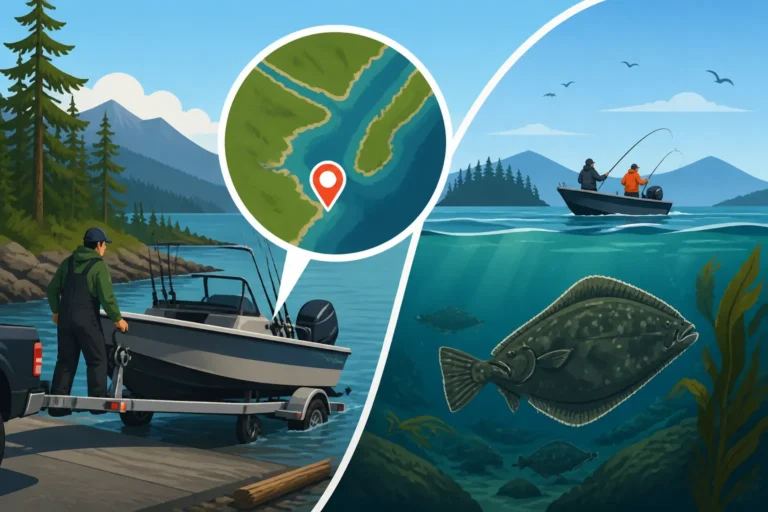
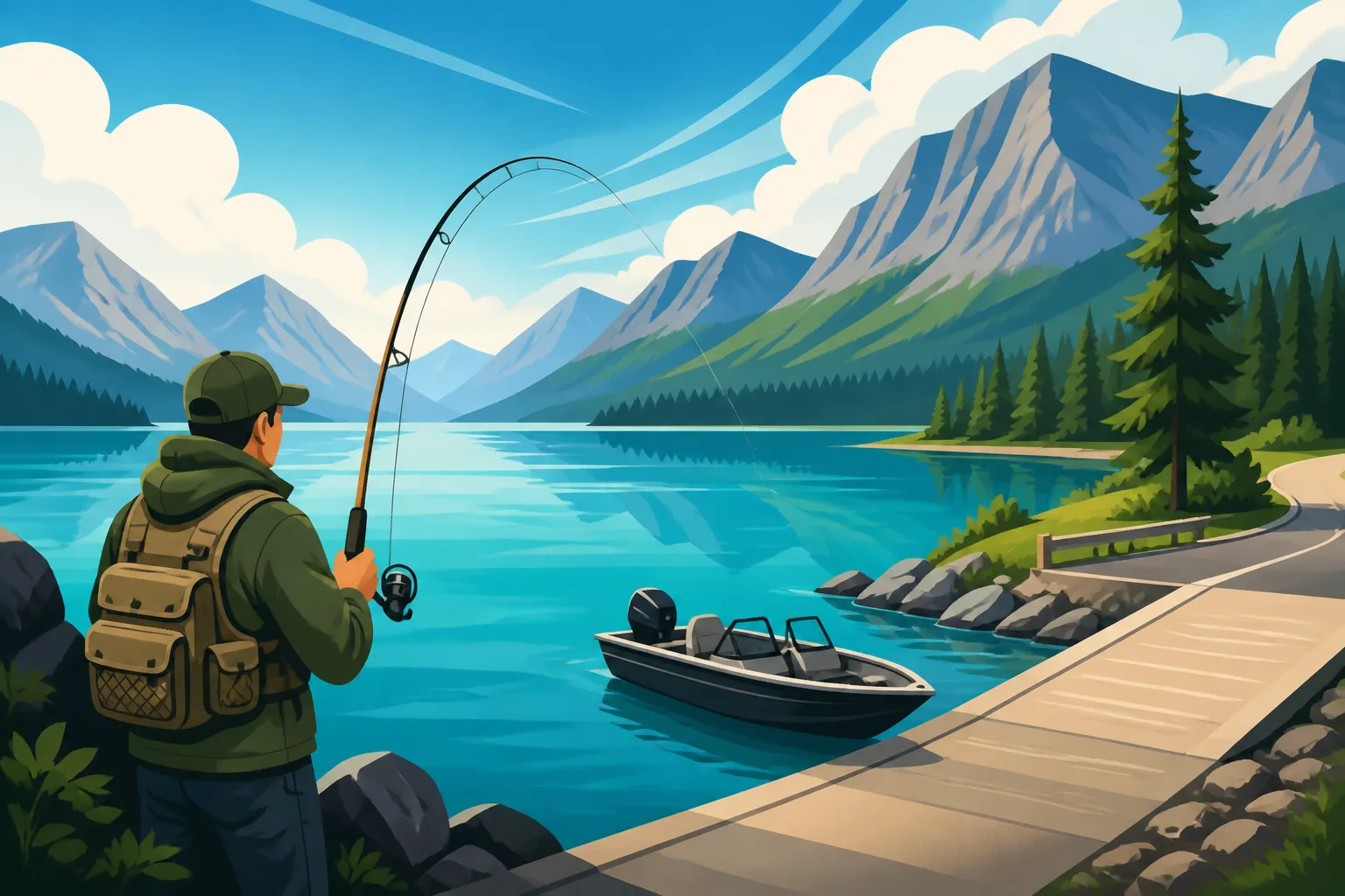
Mackenzie Public Boat Launch: This is arguably the most reliable and user-friendly boat launch on the entire lake. It's typically paved or gravelled right to the water's edge, designed to accommodate significant water level fluctuations. You’ll often find decent parking here, which is a major bonus on such a remote lake. From this launch, you have direct access to the vast Parsnip Arm, known for its deep water and excellent rainbow trout fishing. It’s also a good starting point for exploring the central part of the lake. The convenience here makes it a popular choice for families and those with larger boats. If you're wondering about specific costs, remember that a BC resident freshwater fishing license cost 2026 will apply, and it's always wise to check for any local launch fees.
Mouth of the Parsnip River: Just beyond Mackenzie, where the Parsnip River flows into Williston Lake, is another productive area. While not a formal launch, smaller boats or kayaks can sometimes find access points along the riverbanks, especially during lower water. This area is a transition zone, offering opportunities for both lake-dwelling fish and those migrating up or down the river. The currents here can hold fish, and the habitat is more riverine, attracting species like bull trout and rainbow trout that prefer moving water. Be mindful of property lines and access restrictions if exploring informal spots.
North Arm Access via Finlay Forks Region
Accessing the North Arm, primarily the Finlay River region, is a significantly more remote and adventurous undertaking. This area is far less developed and typically requires a 4×4 vehicle and a good understanding of logging road navigation. The reward, however, is often pristine wilderness and less pressured fishing.
Finlay Forks: This historic location is where the Finlay and Parsnip Rivers originally met to form the Peace River, now submerged under Williston Lake. It’s a crucial geographical point and a renowned fishing area. Access typically involves travelling on extensive logging road networks from either Mackenzie or Chetwynd. While there isn't a formal boat launch here in the same way as Mackenzie, experienced anglers often find informal spots to launch smaller boats, canoes, or kayaks. The water in this region is often clearer, especially during stable weather, and the confluence of the two major rivers creates prime habitat for a variety of species. It's a truly wild experience, but preparation is key, including extra fuel, spare tires, and satellite communication.
Ospika River Confluence: Further north up the Finlay Arm, the Ospika River flows into Williston Lake. This remote spot is a true wilderness gem, accessible primarily by boat from Finlay Forks or by very challenging logging roads. Anglers who make the journey here are often rewarded with exceptional fishing, particularly for Dolly Varden and larger rainbow trout. The Ospika itself is a renowned steelhead river, and the confluence can be a holding area for fish moving in and out of the system. This area is for the truly self-sufficient angler, as there are no services, and emergency help is hours away. Always check BC fishing regulations explained before venturing into such remote areas, as specific rules may apply to tributary mouths.
East Arm Access Near Hudson's Hope
The East Arm, formed by the Peace River, extends towards the town of Hudson's Hope, offering yet another set of access points and fishing opportunities. This area is known for its dramatic landscapes, including the W.A.C. Bennett Dam itself.
Dinosaur Lake Public Access: Located closer to Hudson's Hope, Dinosaur Lake is actually part of the Peace Arm of Williston Lake, downstream from the main reservoir. There are some public access points and boat launches in this area, offering a different fishing experience closer to the dam. This area can be excellent for rainbow trout and bull trout, often holding larger specimens that have adapted to the more riverine conditions. The dam area itself can create unique currents and depths that concentrate fish. Always adhere to any restricted zones around the dam for safety and regulatory reasons.
Informal Shoreline Spots: Along the East Arm, particularly on roads leading out of Hudson's Hope towards the dam, there are numerous informal pull-offs and trails that can lead to shoreline access. These spots are highly dependent on current water levels and can range from easily accessible gravel beaches to steep, muddy banks. These are more suitable for bank fishing or launching very small, lightweight craft like belly boats or kayaks. Anglers might find success targeting shallower bays and points here for rainbow trout or even burbot during specific times of the year.
Navigating Access Challenges and Safety on Williston Lake
The sheer scale and remoteness of Williston Lake mean that preparing for your trip is just as important as knowing where to fish. This isn't a casual urban lake; it demands respect, preparation, and a strong sense of self-reliance. Safety on and around this massive body of water cannot be overstated.
Road Conditions and Vehicle Requirements
Accessing many of Williston Lake's best fishing spots means navigating active logging roads. These are not paved highways. They are often gravel, can be rough, pot-holed, and incredibly dusty in dry conditions, or treacherous and muddy after rain. A 4×4 or AWD vehicle with good ground clearance is highly recommended, if not essential, for reaching most remote access points, especially those on the Finlay Arm.
Here’s what you need to consider:
- Active Logging: Be aware that you might encounter large logging trucks. These vehicles have the right of way and travel at high speeds. Drive with your headlights on, be alert, and pull over safely to let them pass.
- Communication: Cell service is virtually non-existent on most of Williston Lake and its access roads. Bring a satellite phone, an InReach, or a SPOT device for emergency communication.
- Fuel and Supplies: The distance between towns and services is vast. Carry extra fuel, a full-sized spare tire (and the tools to change it), and enough food and water for longer than you expect to be out. A first-aid kit is non-negotiable.
- Road Maps: Don't rely solely on GPS. Bring detailed paper maps of the forest service road networks, as GPS can be unreliable, and some roads may not be accurately mapped or may have changed.
Boating Safety and Launch Considerations
Boating on Williston Lake is an entirely different beast than smaller lakes. The lake is so large that it can generate ocean-like conditions with little warning. Strong winds can whip up massive waves that are incredibly dangerous for smaller boats.
Key boating safety points:
- Weather: Always check the marine weather forecast before heading out and be prepared for sudden changes. Squalls can appear quickly, turning calm waters into dangerous chop.
- Debris: As a reservoir, Williston Lake contains a significant amount of submerged and semi-submerged timber and other debris, especially in areas that were once forested. This poses a constant hazard to propellers and hulls. Navigate cautiously, especially in unfamiliar waters or areas with changing water levels.
- Distances: Factor in the vast distances. A trip to a fishing spot might take hours, not minutes. Ensure you have enough fuel for your round trip plus a substantial reserve.
- Required Equipment: Beyond your fishing gear, always carry all required safety equipment, including life jackets for everyone on board (and ensure they fit!), flares, a whistle or horn, a bailer, a tow rope, and a spare paddle. Familiarize yourself with BC required boat safety equipment checklist. If you're operating a motorized vessel, remember your BC Boating Laws for Anglers and the need for a Pleasure Craft Operator Card.
Shoreline Fishing and Camping Opportunities
While boat access opens up the most possibilities, shoreline fishing is still viable at certain access points, particularly around Mackenzie and some informal spots along the Peace Arm. Look for areas where the terrain isn't too steep and dense, or where logging has created clearings near the water. These spots are great for families or anglers without a boat.
For camping, there are several recreational sites managed by BC Recreation Sites and Trails, particularly around the Mackenzie area and further up the Parsnip Arm. These offer basic amenities like outhouses and fire rings, providing an excellent base camp for multi-day fishing trips. Many other areas allow for primitive, dispersed camping on Crown land, but always practice Leave No Trace principles, be aware of fire restrictions, and respect any private land or active industrial operations. Always check the BC Parks website or local recreation site information for current conditions and regulations.
Species-Specific Fishing Access
Williston Lake is a cold-water fishery, home to several desirable species that thrive in its deep, nutrient-rich waters. Knowing where and how to access areas specific to these fish can greatly increase your chances of success.
Targeting Rainbow Trout and Dolly Varden
Rainbow trout are the most commonly targeted species in Williston Lake, with some truly impressive specimens caught regularly. Dolly Varden, a char species, are also present and can grow quite large.
-
Rainbow Trout: These fish are found throughout the lake, but especially thrive in the deeper sections of the Parsnip Arm and around the confluence zones where rivers enter the lake. Access points near Mackenzie provide excellent proximity to productive rainbow waters. Anglers often troll with spoons, plugs, or even fly-fishing streamers from boats in these open waters. Shore anglers can find success near drop-offs or at river mouths. For targeting these fighters, you’ll find plenty of advice in our guide on How to Catch Rainbow Trout in BC Lakes.
-
Dolly Varden: Often confused with bull trout, Dolly Varden are found in similar habitats, preferring colder, clearer water. They are typically more concentrated around the mouths of major tributaries, such as the Finlay and Ospika Rivers in the North Arm, as well as the upper reaches of the Parsnip Arm. These areas offer the cooler water and forage that Dolly Varden prefer. Accessing these spots often means a longer boat run or a rugged drive to more remote launches. They respond well to spoons, spinners, and flies that imitate baitfish. Remember, bull trout and Dolly Varden are often managed similarly, so refer to the regulations for specific limits.
Burbot and Whitefish Hotspots
Beyond the glamour of trout and char, Williston Lake is also an excellent fishery for burbot and various whitefish species. These often-overlooked fish provide fantastic angling opportunities, especially during specific seasons.
-
Burbot: Also known as freshwater cod, burbot are a fascinating bottom-dwelling species. They are particularly active during colder months and at night. They prefer deep, rocky areas and often congregate near underwater structure or drop-offs. The deeper parts of the Parsnip Arm, accessible from Mackenzie, are known burbot haunts. Shore anglers targeting burbot might find success at night near deeper banks using bait such as cut fish. For more detailed insights into these unique fish, check out our article on Burbot in Northern BC Lakes.
-
Whitefish: Lake whitefish and mountain whitefish are abundant in Williston Lake, providing consistent action, especially when other species might be less active. They are often found in shallower to moderate depths, foraging on insects and small crustaceans. Access points along the shorelines of all three arms can yield good whitefish fishing. They are a popular target for fly anglers using small nymphs or wet flies, and spin anglers using small jigs or bait. These fish are excellent table fare! You can learn more about finding them in our guide to Whitefish in BC's Interior Lakes.
Arctic Grayling Opportunities
While not as widespread as the other species, Arctic grayling can be found in some of the smaller tributaries flowing into Williston Lake, particularly in the northern Finlay Arm region. These beautiful fish prefer clear, cold, well-oxygenated streams.
- Tributary Access: Targeting Arctic grayling typically requires exploring the tributary rivers and creeks that feed into the Finlay and Ospika systems, rather than the main lake itself. Access to these smaller waters is often even more challenging than the main lake, requiring extensive bushwhacking or smaller watercraft. Always check specific regulations for these streams, as many may have special restrictions or be catch-and-release only. This is a true wilderness experience, requiring specialized knowledge and equipment. For more on these elusive fish, read our post on Arctic Grayling in Northern BC Rivers.
When planning your trip and looking for specialized guides who truly understand the intricacies of Williston Lake's access points and target species, resources like FishingBooker can be incredibly valuable. They often list experienced local operators who can navigate the logging roads, fluctuating water levels, and deep channels to get you to the best spots for a successful day on the water.
Remember that Williston Lake is a dynamic environment. Before any trip, check the current fishing regulations for the area, local fishery notices, and water levels, as conditions can change rapidly. Our guide on How to check BC fishery notices before a trip is a great resource. This is a lake that demands respect and preparedness, but rewards those who make the journey with incredible fishing and unparalleled wilderness experiences.
Here's a quick overview of some key access points and what they offer:
| Access Point | Primary Arm | Typical Vehicle Access | Boat Launch Quality | Primary Target Species | Key Features / Notes |
|---|---|---|---|---|---|
| Mackenzie Public Boat Launch | Parsnip Arm (South) | Paved/Gravel | High (all sizes) | Rainbow Trout, Burbot | Most accessible, services nearby, great for larger boats. Can access deep sections of Parsnip Arm. |
| Finlay Forks (Informal) | Finlay Arm (North) | 4×4, Logging Roads | Low (small craft) | Dolly Varden, Rainbow Trout | Remote wilderness, confluence of Finlay/Parsnip Rivers, very dependent on water levels for launch. Requires significant self-reliance. |
| Ospika River Confluence | Finlay Arm (North) | Boat (from Finlay Forks) | N/A | Dolly Varden, Rainbow Trout | Extremely remote, pristine waters, excellent for char. Requires long boat ride or very challenging road access to tributary mouth. |
| Dinosaur Lake Public Access | Peace Arm (East) | Paved/Gravel | Medium (mid-size) | Rainbow Trout, Bull Trout | Closer to Hudson's Hope, part of the Peace River system below the main dam. Can offer strong current fishing. |
| Informal Shoreline (East Arm) | Peace Arm (East) | Variable (car to 4×4) | N/A (shore access) | Rainbow Trout, Whitefish | Numerous pull-offs, highly water-level dependent. Best for bank fishing or launching kayaks/belly boats. |
Disclaimer
The information provided in this guide is for general informational purposes only and is subject to change. British Columbia's fishing regulations, access conditions, and local advisories can change frequently. Always consult the official BC Freshwater Fishing Regulations Synopsis, current Fishery Notices, and local authorities or guides before planning your trip to ensure compliance and safety. Angling involves inherent risks, and personal safety is the responsibility of each individual.